
|
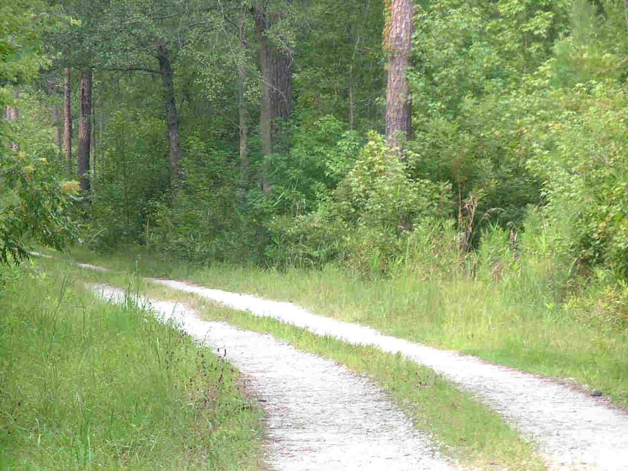
The Lay of the Land This page will give a better idea of just where we're located, and how to get here. Tanager Woods is about 20 miles from Summerville and 45 miles from Charleston. Some people worry that we're a little too far out in the woods for their comfort, but we think you'll find that it's worth it. We've been here for more than 30 years and wouldn't move for anything. We would like to assure you that there is no chance of you getting lost. We will personally come find you, if for any reason you lose your way (we have good cell phone reception). We recently opened a new paved, private road into Tanager Woods starting where county maintenance ends, so there's a smooth ride into the campground. Keep up with our news on Facebook! |
|
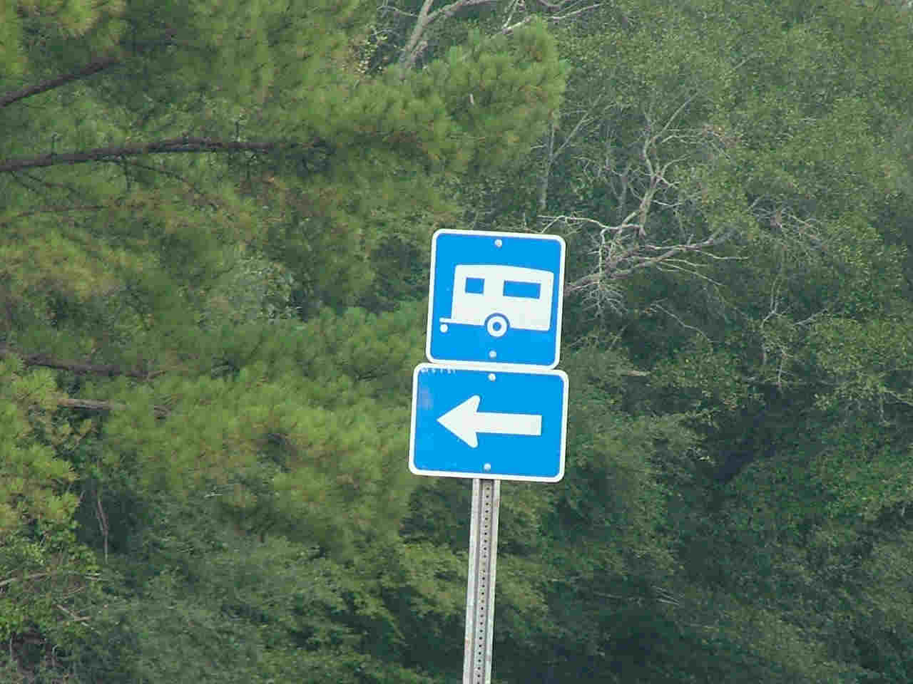
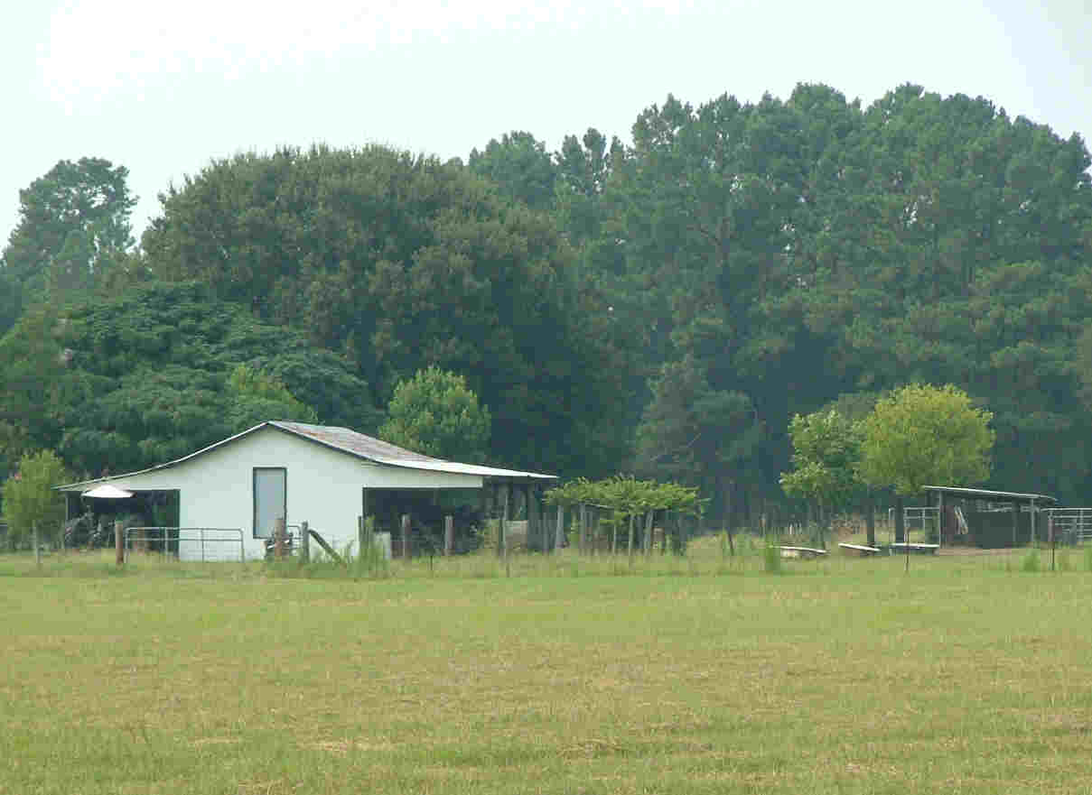
The map above features some helpful information. First, it shows possible routes in from I-26. If that's not where you're coming from, just use our address (269 Clark Ln, Dorchester, SC, 29437), and you should have no problem. We're happy to give you directions by phone as well. Second, the map shows some nearby stores and places of interest. Just click to see the larger map and zoom out to see everything. This is, of course, only the tip of the iceburg. See our La Vida Lowcountry page for more information about where to go and what to do while you're here. Here are the basic directions on how to find us: Use the signs for Beidler Forest to get to Highway 178. Turn off Highway 178 onto Beidler Forest Road. Continue over the interstate and take an immediate right onto Mizell Road. Follow Mizell Road and then take a right turn onto Clark Lane. Stay on Clark Lane all the way to the beginning of our road (you'll see our sign) and keep going. Follow the black-top road to the right. Follow the road around left-hand corner and then turn right (there'll be a gray building). Keep going and you'll see the campground. Just follow the the pavement and signs and give us a call if you have any trouble! |
|
-
269 Clark Lane
Dorchester, SC 29437 -
Phone: 843-462-2255
Cell: 843-693-9520 -
www.tanagerwoodsrvsites.com
info@tanagerwoodsrvsites.com
Contents Copyright Tanager Woods RV Campground, LLC 2012. Last updated July 2021.